

Topographical surveys
Accurate surveys of levels, boundaries and existing features: the base every design starts from. Get the levels wrong and it shows up later, in a floor that doesn't meet the garden or a fall that won't drain.
From £600 + VAT for a small site. See survey prices
- OS National Grid & ODNLines up with OS mapping and other consultants' data
- 2 hoursTo a fixed quote, with site details
- RICS guidanceSurveyed to measured surveys of land
- One surveyorMeasured and checked by the same Chartered Surveyor
What the survey shows
Scope agreed against your brief
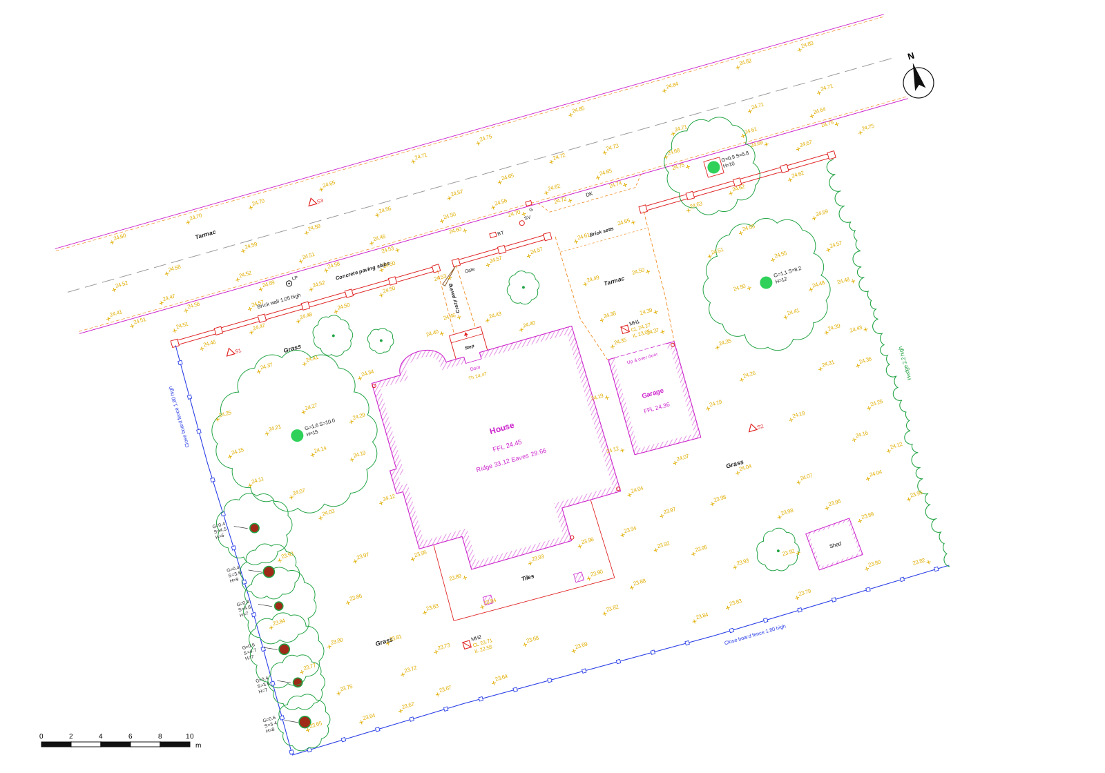
Levels & contours
Spot levels and contours at an agreed interval, in 2D or as a 3D model.
Boundaries
Walls, fences and hedges with type and height, as they stand on site.
Buildings
Footprints, threshold and floor levels, eaves and ridge heights.
Trees & planting
Positions with trunk girth, height and canopy spread.
Drainage & services
Manhole cover and invert levels, gullies, stop taps and poles.
Hard landscaping
Paths, patios, steps, retaining walls, kerbs and changes of surface.
How it's surveyed
The method suits the site
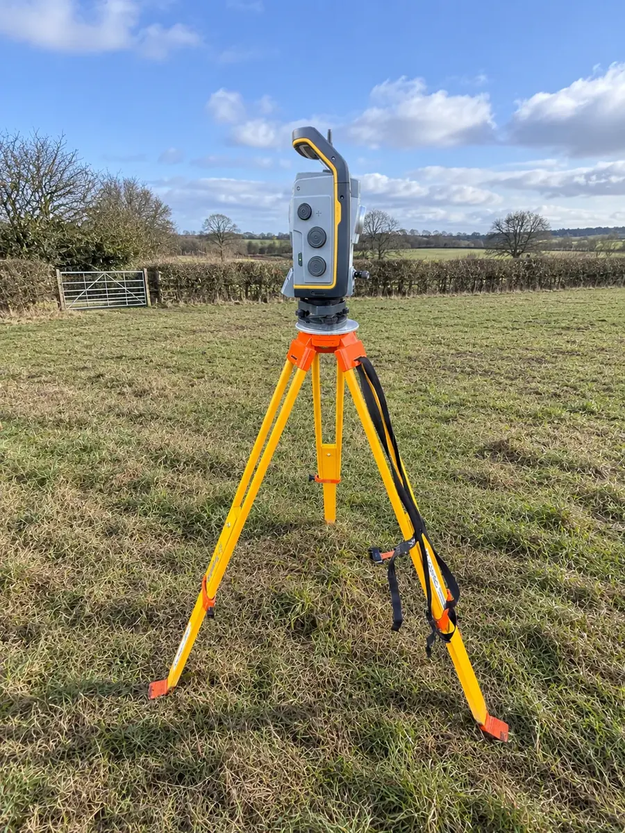
- Total station: precise detail and levels, even in tight gardens and under trees
- GNSS: ties the survey to OS National Grid and Ordnance Datum Newlyn, or a local grid
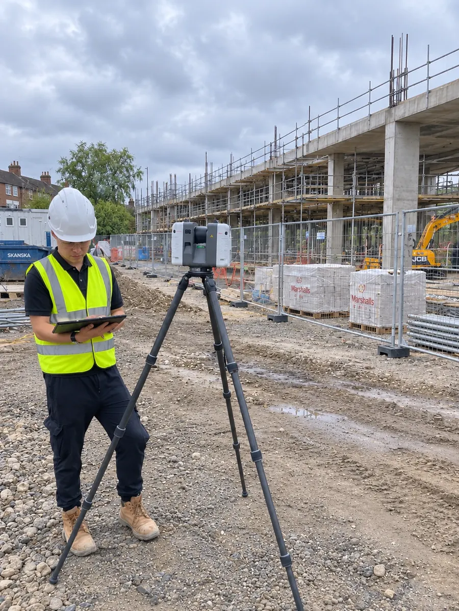
- 3D laser scanning: for complex frontages or a full 3D record
- Drone capture: for roofs and larger sites, tied to the same control
Data is processed in professional survey software, checked against the control network, and checked by the surveyor who measured the site before issue.
What you receive
Drawn to your layer and block standard
| Deliverable | Format |
|---|---|
| 2D topographical plan, layered, with spot levels, contours and annotations | DWG / DXF |
| Plotted drawing, typically 1:100 or 1:200 | |
| CAD layers, blocks and text styles set up to your office standard (send us your template) | DWG |
| 3D surface model, on request | 3D DWG |
| Point cloud, where the site is laser scanned | E57 / RCP |
| Coordinates and datum, or a local grid, confirmed in the quote | OSGB36 / ODN |
- Architects
- Planning consultants
- Landscape designers
- Engineers
- Developers
- Homeowners
Getting a quote
Three things, then a fixed price
Mark up the site
A red-line plan, OS map extract or a marked-up screenshot on Google Maps is enough.
Tell us the purpose
Planning, design, drainage: it decides the level of detail and contour interval.
Fixed quote
Price, scope, datum and turnaround in writing before any work starts.
Do I need one for a planning application?
Not always by name, but councils need accurate existing and proposed drawings, and many ask for site levels where the ground slopes or changes level. It is usually worth having one when the site slopes, the work is near a boundary or trees, or the site is in a flood zone. If in doubt, check your council's local validation checklist or ask your architect.
Is underground utility tracing included?
No. Visible covers and invert levels are included; PAS 128 utility tracing and CCTV drainage surveys are separate specialist work.
Does the survey show the legal boundary?
It shows the physical features on the ground: walls, fences and hedges. The legal boundary is a separate matter.
Which areas do you cover?
We are based in London and survey sites across the UK. Send the site postcode and any travel is included in the fixed quote.
Need a topographical survey?
Send a plan of the area and what it's for. You'll have a fixed quote within 2 working hours.